
Morocco’s 2024 General Population and Housing Census is a statistical picture taken at a defined point in time. The High Commission for Planning progressively publishes tables, notes and thematic reports covering legal population, households and their characteristics at several geographical levels. These results describe structures; on their own, they do not predict the future of a city or region.
For MOP, their practical value is to explain why territories evolve at different speeds, why mobility needs vary and why a national average must never replace local evidence.
A census rather than an opinion survey
The census counts the population and describes homes and households through a national methodology. Official results are then issued as legal-population files, territorial tables and thematic analysis. The HCP portal remains the primary reference for the version, scope and geographical level of each figure.
A national value cannot automatically describe Casablanca, the Oriental region or a rural commune. The first questions should always be: which population, which year, which territory and which definition?
Read legal population carefully
Legal population is an institutional reference. Official files break it down by region, province, prefecture and commune. Comparing 2014 and 2024 may reveal local growth, stability or decline, but the difference does not explain the causes by itself.
Residential mobility, age structure, household formation and economic change can interact. Shortcuts such as “a city is winning” or “a region is emptying” should therefore be avoided unless the supporting publications have also been examined.
Households tell a different story
The number and average size of households add information that a population total cannot provide. Two territories with similar populations can face different housing, service, transport and infrastructure needs when household composition differs.
This distinction is one reason why housing growth cannot be read mechanically from population alone. It also encourages comparison between urban and rural settings rather than the search for one universal average.
Urbanisation does not mean uniformity
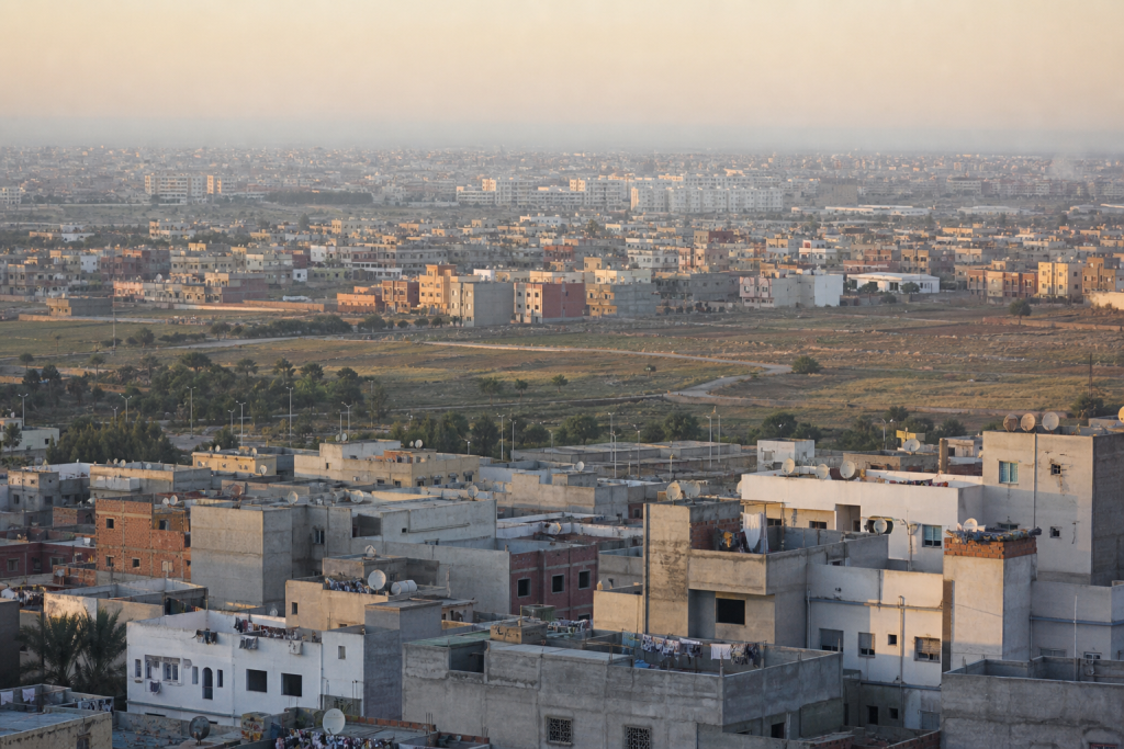
Urban Morocco includes large metropolitan areas, intermediate cities, expanding outskirts and more stable centres. The census allows comparisons between these configurations, but it does not make every area classified as urban feel or function the same way.
For a traveller, that diversity produces different densities, rhythms and mobility choices. MOP’s guide to transport in Morocco adds operational context without confusing statistics with a travel instruction.
What a map can conceal
A regional map is useful, yet one region can contain contrasting realities. An average may combine a large urban area, small towns and remote rural communes. The broader the geography, the more carefully generalisations must be tested.
Municipal tables and the HCP’s regional publications are essential when investigating a specific territory. They show whether a national trend is genuinely visible at the level being discussed.
Connect figures to services without invention
Census results can inform planning, but they do not automatically measure transport quality, actual service access or housing prices. Those questions require other sources, dates and sometimes field observation.
MOP uses demographic data as context, never as a universal proof. A population change is not enough to announce new infrastructure, a commercial offer or improved service.
A reliable way to check a figure
- Open the document on the HCP’s official domain.
- Record the year, publication date and territory.
- Identify the unit: people, households, percentage or rate.
- Check whether it covers the total, urban or rural population.
- Compare only compatible definitions and geographical scopes.
- Keep the exact table or report link.
This method prevents an isolated number from circulating after its original definition has been lost.
What the census helps us understand
The 2024 census provides a shared base for observing Morocco’s territorial transformation. Its value lies less in a dramatic ranking than in its ability to connect population, households and geography through public definitions.
The results must still be followed as official publication continues. A regional report released in 2026 may add detail to an earlier national table, so the access date belongs to every serious interpretation.