
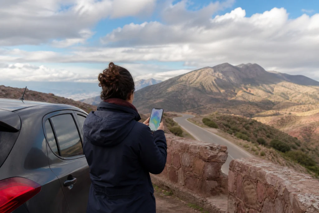
Morocco’s national meteorological authority publishes an official vigilance portal with general and marine maps. It distinguishes thunderstorms, heavy rain, snow, wind, heat, cold and high waves. The tool does not make an itinerary certain; it supports a decision to maintain, adapt or postpone a stop.
A consumer application may show an hourly temperature, but it does not replace official risk levels. Before a road journey, hike, sea outing or isolated day, consult the map for the relevant place and date, then check local instructions.
Start with the right map
The portal separates general and marine vigilance. The first covers land phenomena; the second is relevant to sea state and coastal areas. A day around Essaouira, Dakhla or Khnifiss may require both readings.
Do not infer a national situation from a symbol over one zone. Morocco combines coast, plains, Atlas, Rif and desert areas. Levels can differ greatly between departure, route and arrival. Check each meaningful stage rather than only the accommodation city.
Understand levels without exaggerating
The platform distinguishes no particular danger, ordinary risks that may become locally dangerous, significant risks and maximum risks. A low level does not remove ordinary care; a higher one should not be dismissed because the sky looks calm at departure.
Vigilance describes the potential for a phenomenon over an area and period. It does not predict the exact experience in every street. Use it as a decision threshold: as the level rises, margins, local information and a possible cancellation must become more explicit.
Roads: look at the entire corridor
For an intercity journey, examine departure, crossed areas and arrival. Heavy rain on a plain, crosswinds on an exposed road or snow at altitude may affect the corridor while both cities appear calm.
Confirm road conditions with the relevant authority or operator. Do not bypass a closure automatically because an application suggests another road. Keep enough fuel, water, battery and daylight, and choose a safe stop before fatigue becomes a constraint.
Mountains: add altitude and return
The temperature in a nearby town does not describe a pass, enclosed valley or higher trail. In mountains, add wind, precipitation, visibility, ground condition and return time to the decision. A walk beginning under stable skies may finish in different conditions.
Ask a guide what triggers a route change and what alternative is prepared. Carry a warm layer and rain protection even on a mild day. Without reliable return information, select an activity closer to the base.
Desert: risk is more than heat
In desert regions, heat matters, but so do strong wind, dust, visibility, temperature variation and isolation. A sunset outing may lose its value or safety if the return depends on an unidentified track.
Confirm water, vehicle, communications, pickup and cancellation procedure. Reject “guaranteed departure in all weather”. A professional decision recognises that some conditions require a different programme.
Coast: consult marine vigilance
A blue sky guarantees neither a calm sea nor a suitable watersports session. The marine map complements the land forecast for waves and coastal conditions. Instructions from the beach post, port, club or local authorities always take priority over editorial copy.
Do not swim in an unsupervised place merely because others are in the water. For boating, surfing or kitesurfing, check supervision, equipment, required level, insurance and cancellation. Commercial availability is never proof of safe conditions.
Save useful information offline
The network may become unreliable on a road or in a valley. Before leaving, save the map, address, accommodation contact, meeting point and alternative. A screenshot preserves what you consulted, but it must be dated and refreshed whenever possible.
Share the itinerary with someone for an isolated outing. Preserve enough battery for arrival instead of relying on continuous tracking. Offline preparation reduces pressure when the programme changes.
Decide without trying to save the schedule
An alert is not an obstacle to work around in order to justify a booking. It may support postponement, an indoor activity, a shorter stage or an open day. Read cancellation terms before paying so that the choice remains available.
MOP will never turn a climate average into a guarantee. Itineraries need margins and a fallback. A good trip is not the one that maintains every line of the schedule; it is the one that adapts decisions to real conditions.